
WISPR · AUTHORIZED DISTRIBUTOR PUERTO RICO
EYES IN THE SKY.
PRECISION ON THE GROUND.
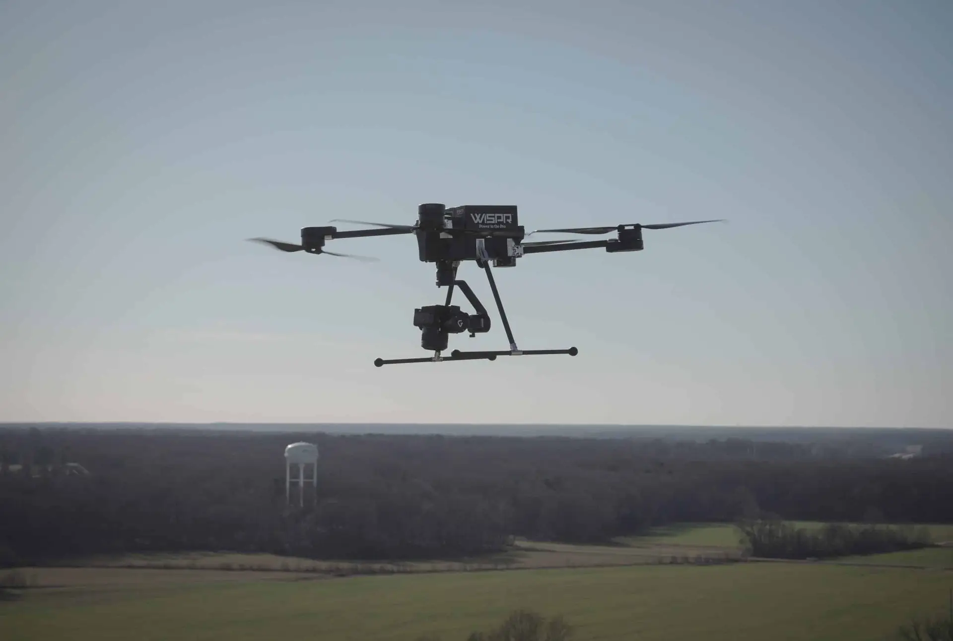
The WISPR SkyScout 2+ is a rugged, American-made UAV mapping platform — integrated with GeoNET for direct RTK georeferencing, no ground control points required.
SKYSCOUT 2+
THE COMPLETE FIELD-READY SYSTEM.
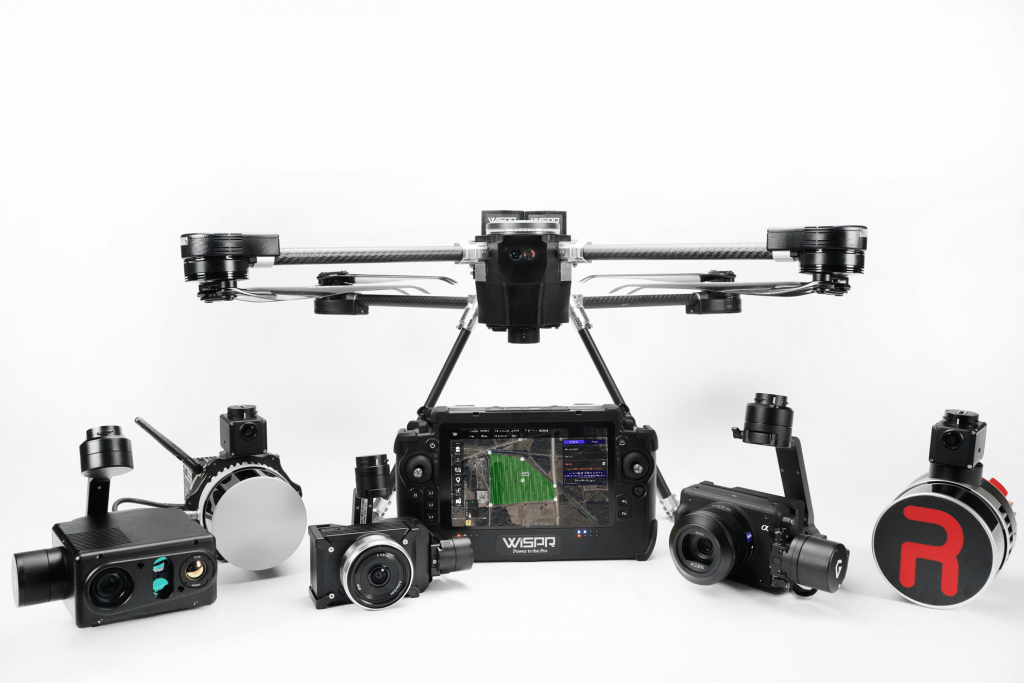
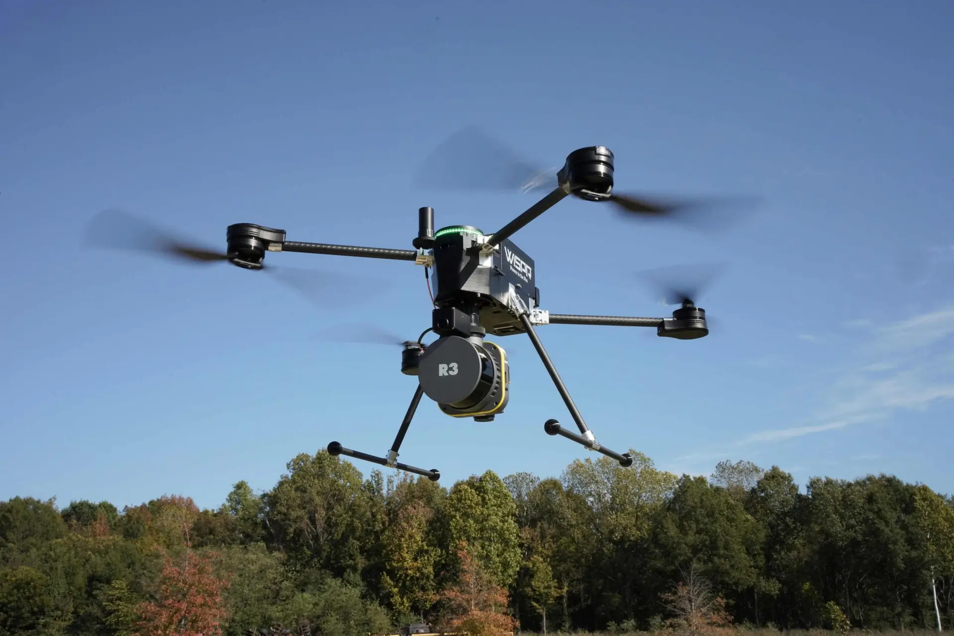
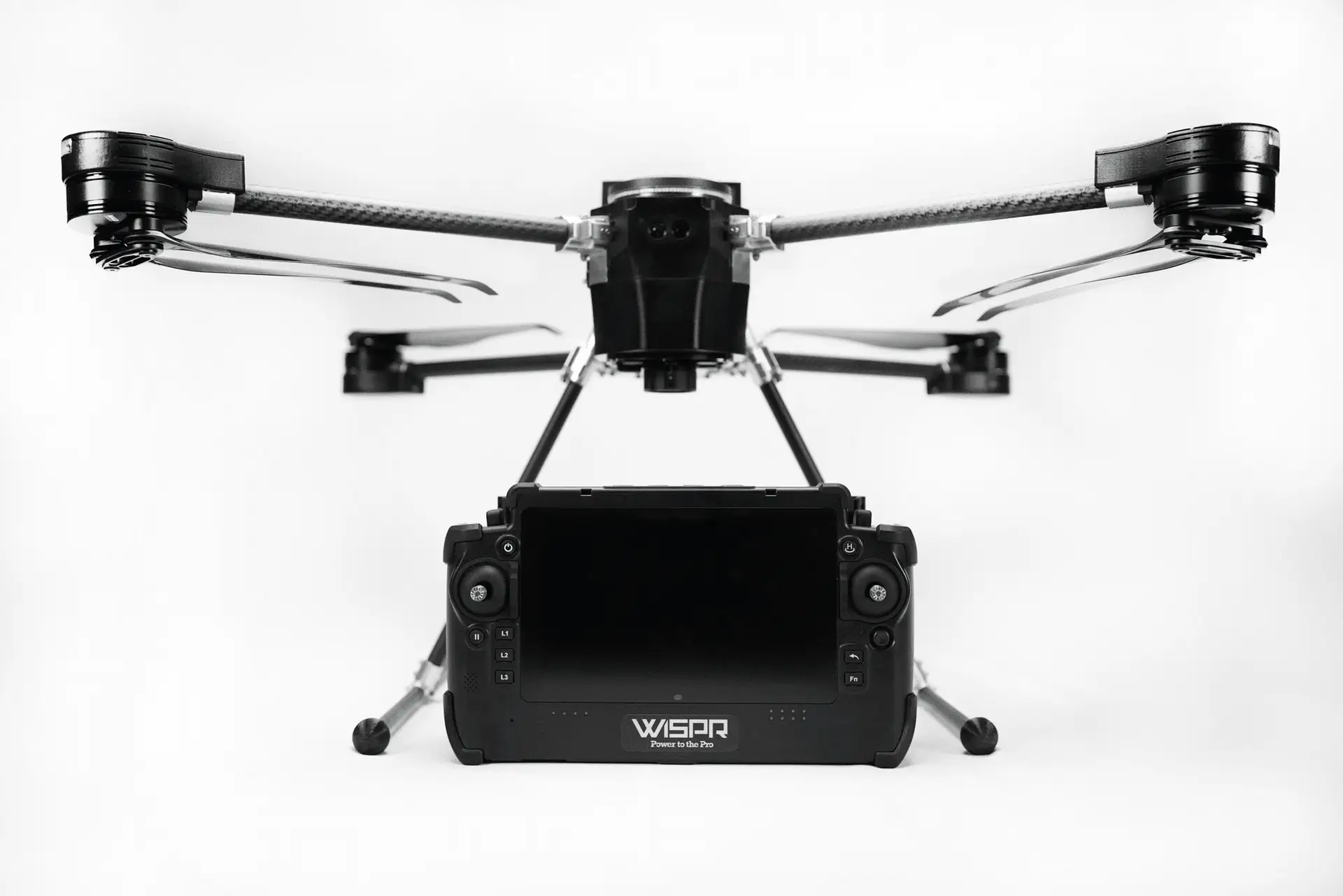
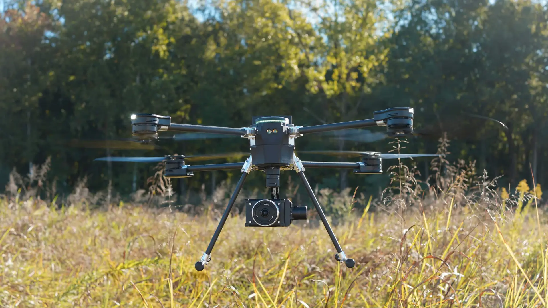
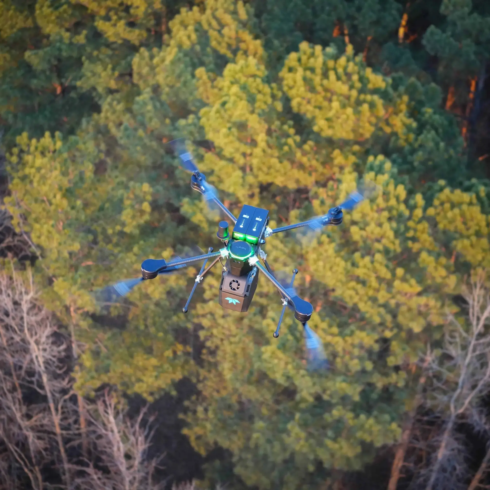
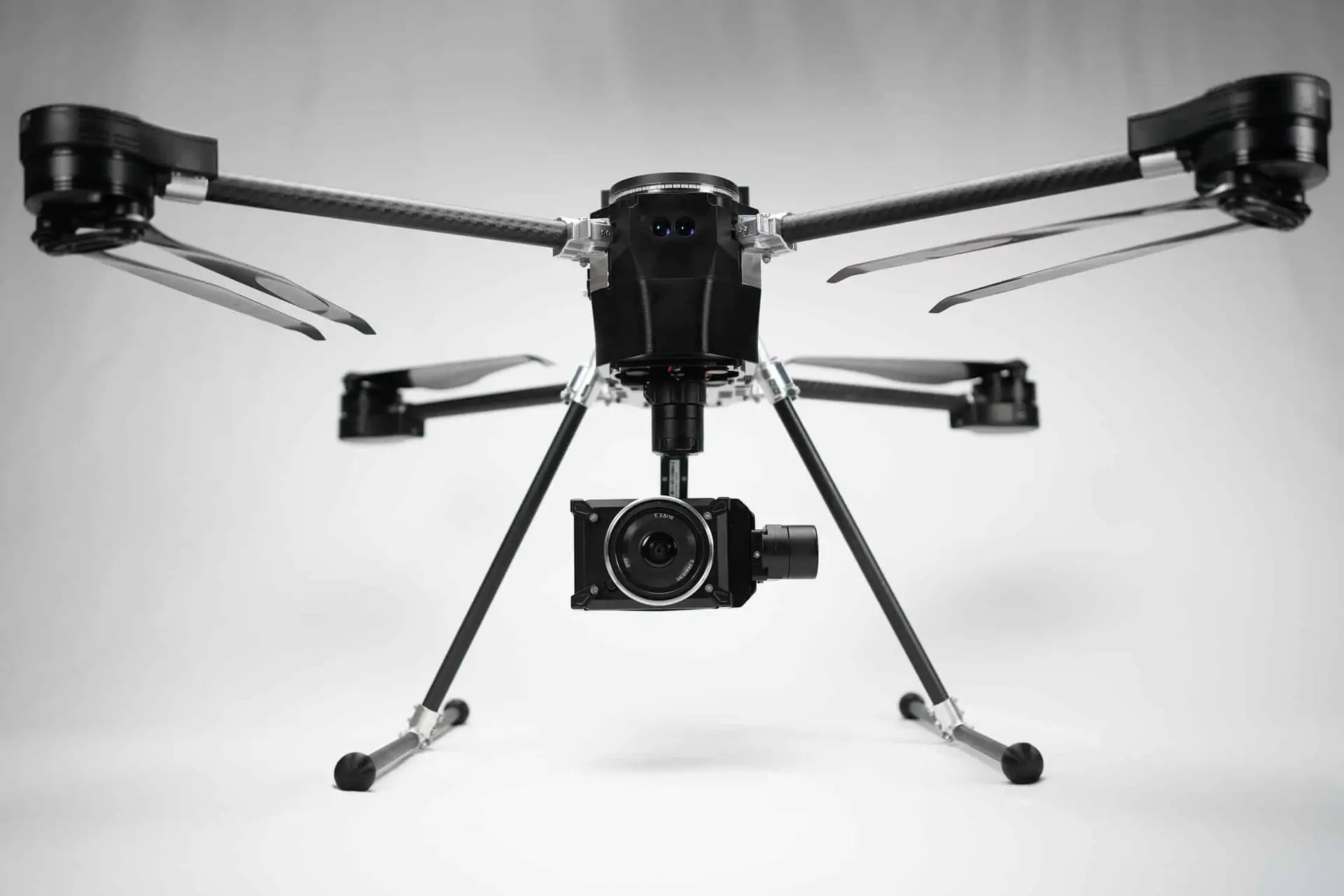
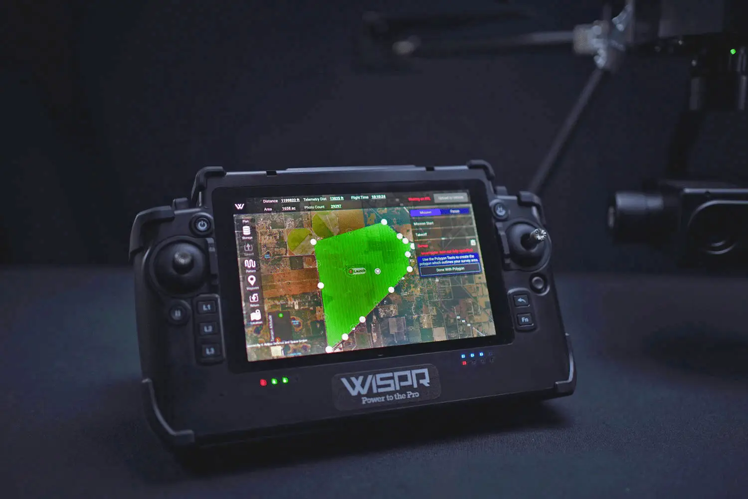
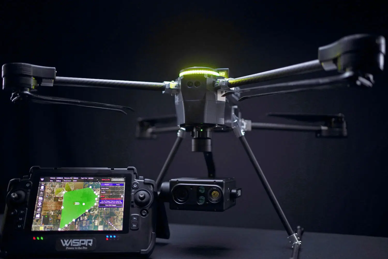
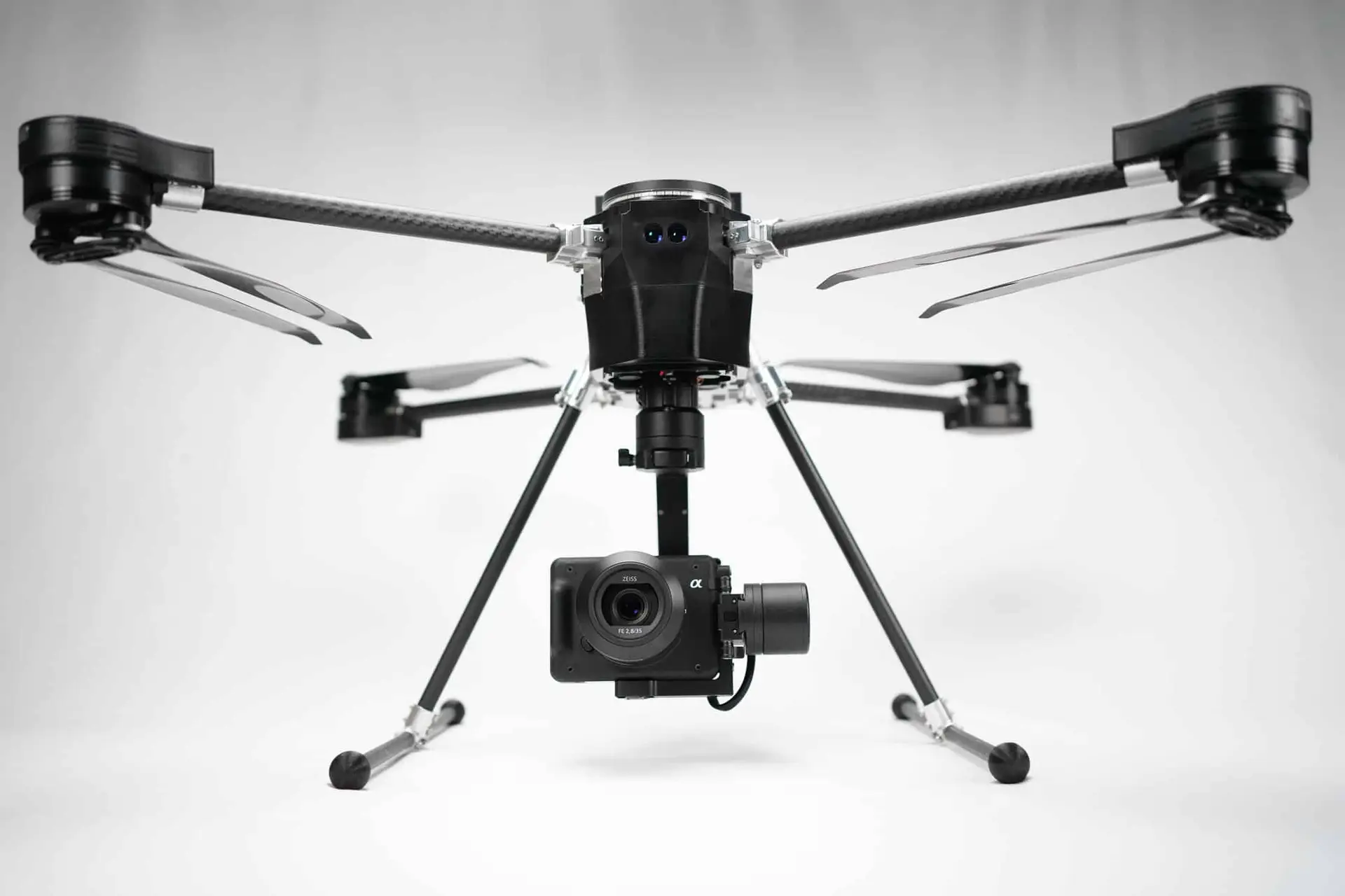
The WISPR SkyScout 2+ is a professional-grade quadcopter UAV built for surveying, mapping, and inspection work in demanding field conditions. Paired with the WISPR SkyBoss smart controller — a sunlight-readable, MIL-STD-810 drop-tested ground station — the SkyScout 2+ delivers a complete, field-ready mapping system out of the box.
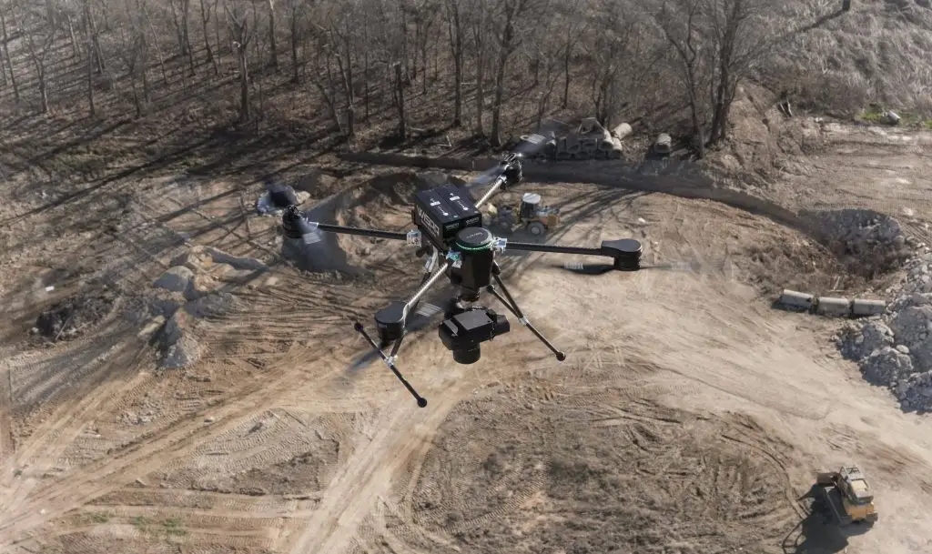
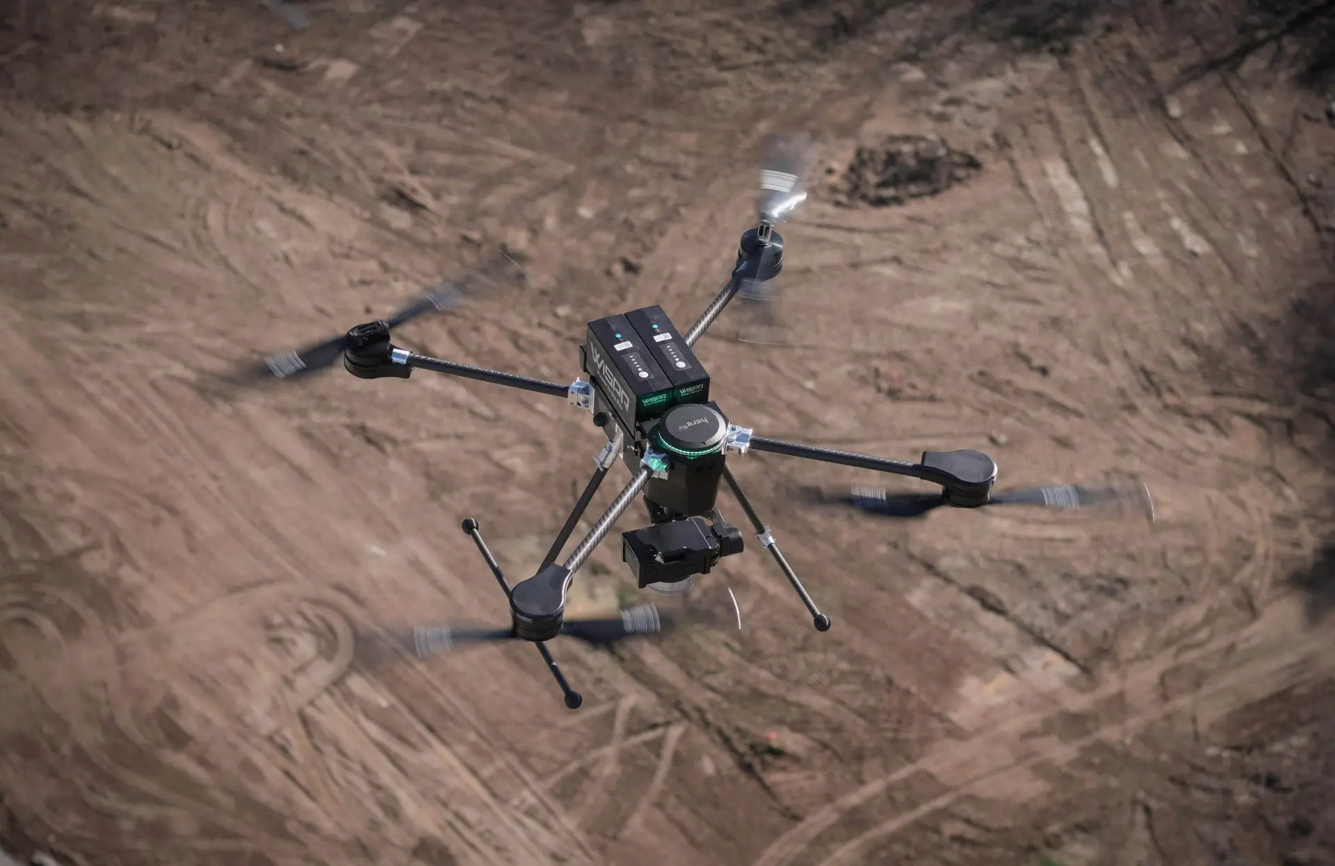
Built in America and engineered for reliability, the SkyScout 2+ integrates a full GNSS receiver, long-range obstacle detection, and a quick-attach payload system that adapts to photogrammetry, LiDAR, and inspection missions without downtime. Available through GeoTek PR — the authorized WISPR distributor for Puerto Rico.
- 35 min flight time (no payload) · 3.5 lbs max payload
- 50 MPH wind rating · Front/rear/downward collision avoidance
- S Port quick-attach payload system — no downtime between missions
- WISPR SkyBoss controller — MIL-STD-810 drop tested, sunlight-readable
- Designed, assembled and tested in Batesville, Mississippi, USA
DIRECT GEOREFERENCING.
NO GROUND CONTROL POINTS.
GEOTEK • CORE INTEGRATION — NOT AN ADD-ON
The SkyScout 2+’s onboard GNSS receiver is fully compatible with GeoNET, GeoTek PR’s own RTK correction network. By connecting directly to GeoNET via NTRIP, the SkyScout 2+ captures RTK-corrected positioning data in real time during flight — eliminating the need to place and survey ground control points before every mission.
For projects requiring even higher precision, the SkyScout 2+ also supports Post-Processed Kinematic (PPK) workflows through the WISPR Cloud subscription, allowing centimeter-level accuracy to be achieved after the flight using GeoNET reference data. This makes GeoNET a core technical component of every precision UAV mapping deployment — not an optional add-on.
Built in America and engineered for reliability, the SkyScout 2+ integrates a full GNSS receiver, long-range obstacle detection, and a quick-attach payload system that adapts to photogrammetry, LiDAR, and inspection missions without downtime. Available through GeoTek PR — the authorized WISPR distributor for Puerto Rico.
QUICK FACTS
RTK Compatible
Yes — via NTRIP/RTCM (GeoNET ready)
PPK Compatible
Yes — with WISPR Cloud Subscription
GNSS Bands
L1, L2, E5
Constellations
GPS + GLONASS + Galileo + BeiDou
ONE AIRFRAME. EVERY MISSION.
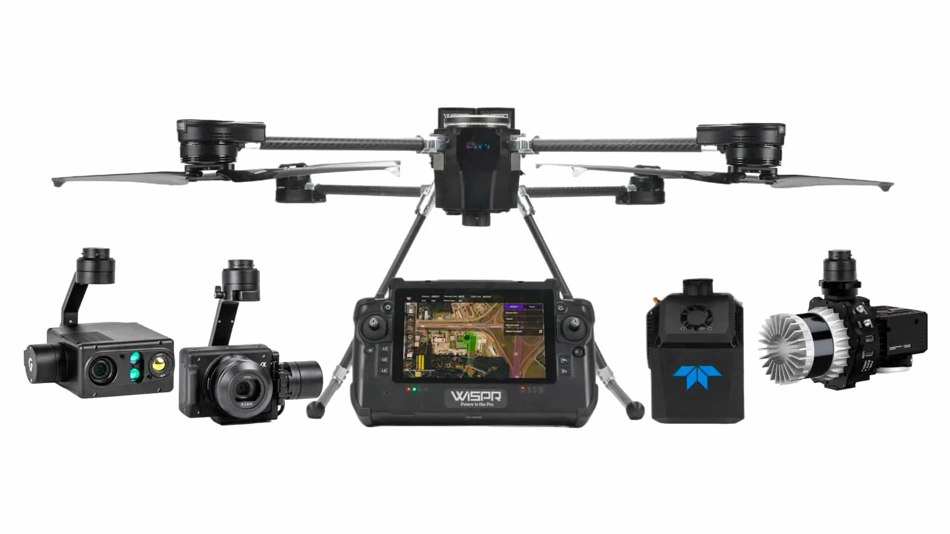
The SkyScout 2+’s S Port quick-attach system supports a range of imaging payloads for aerial mapping, orthomosaic generation, and high-resolution visual documentation.
PAYLOAD SYSTEM
WISPR 24MP MAPPER
A purpose-built mapping camera optimized for large-area photogrammetry surveys — delivering consistent, high-quality imagery for orthomosaic and digital terrain model generation.
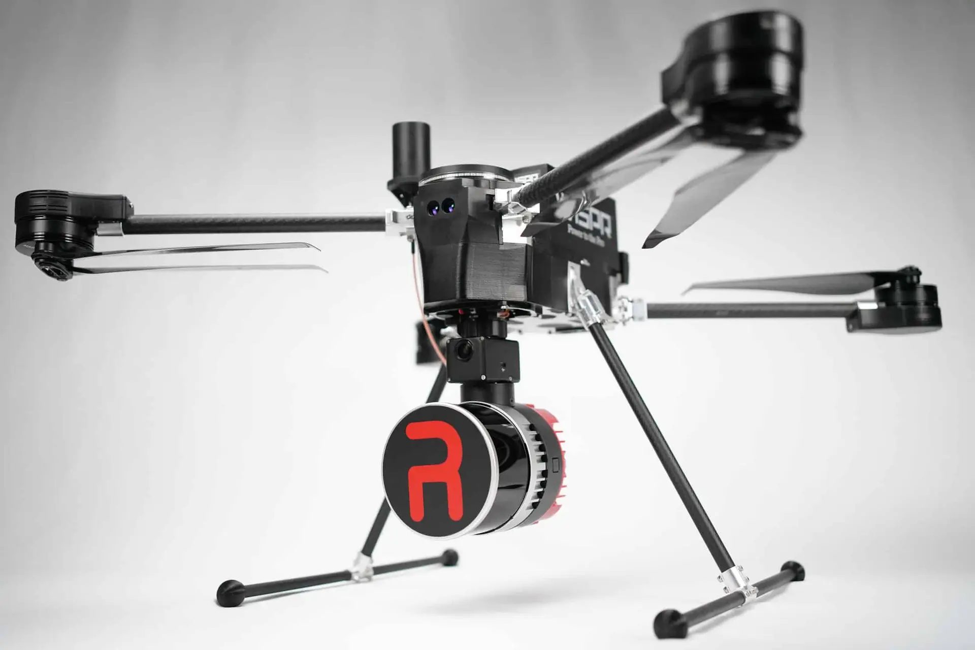
RESEPI LIDAR PAYLOADS
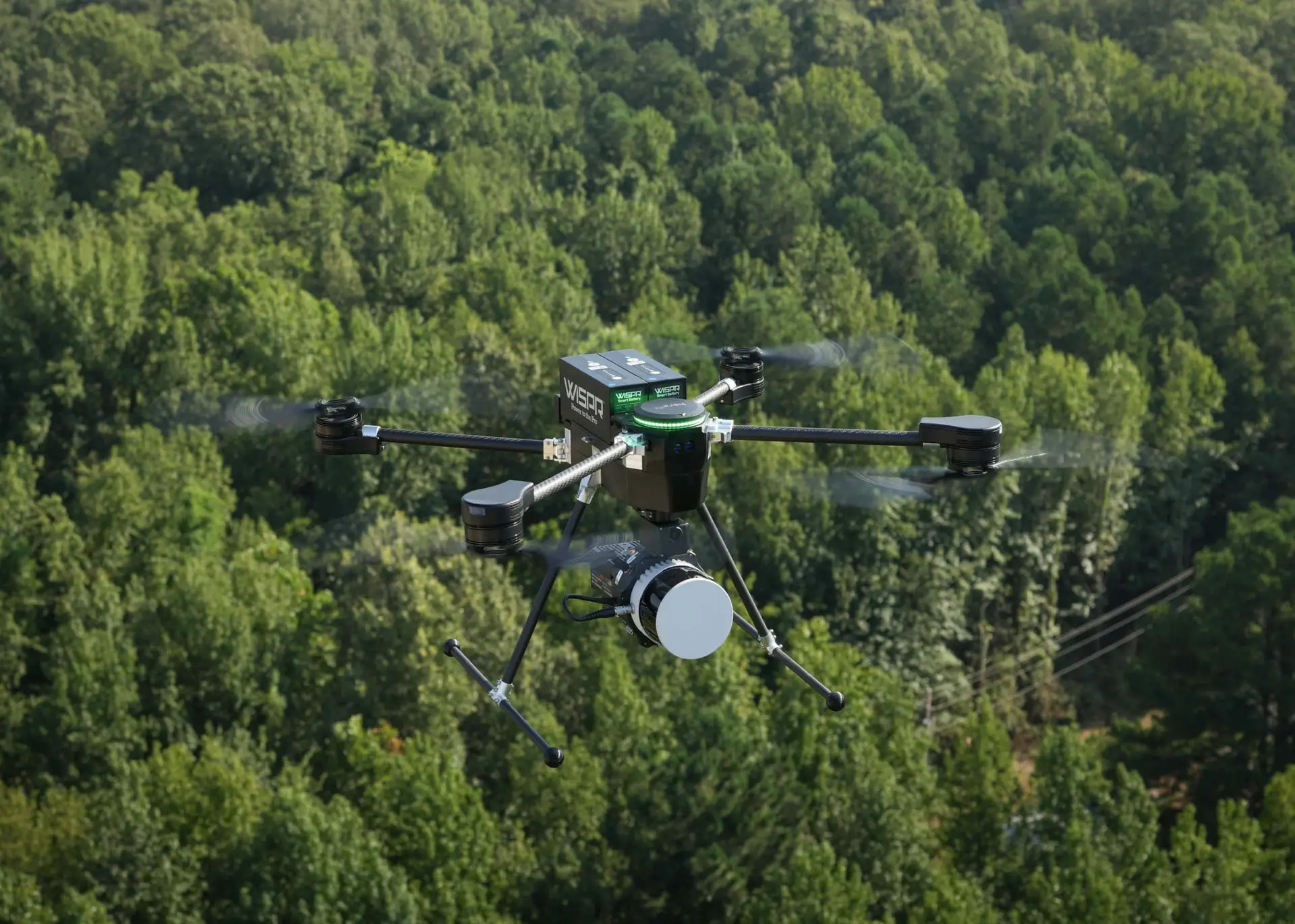
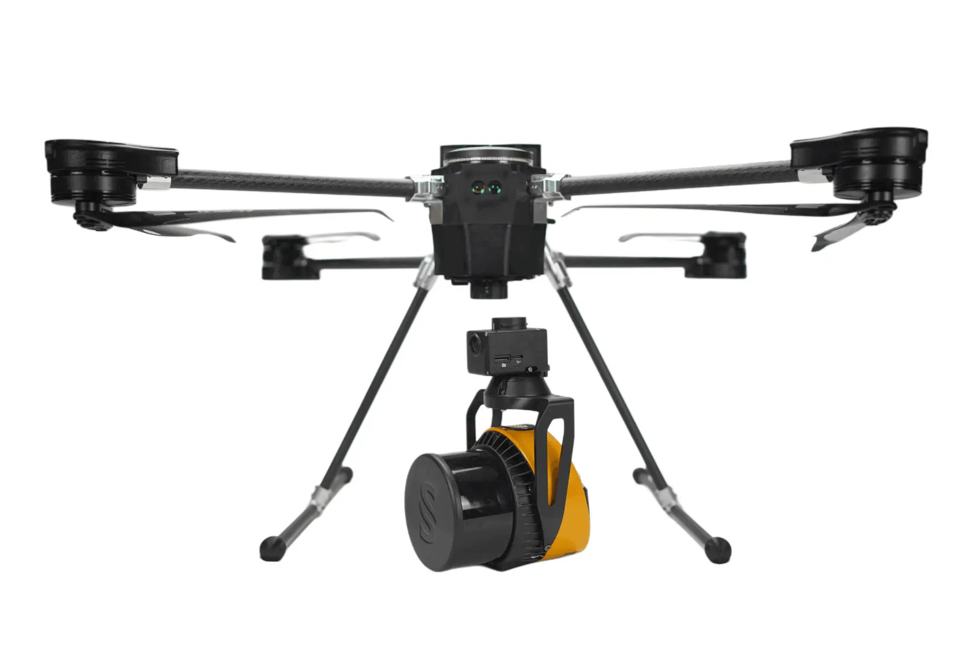
For projects requiring dense 3D point cloud capture — vegetation penetration, corridor mapping, or complex terrain — the SkyScout 2+ supports RESEPI LiDAR payloads.
RESEPI ULTRA LITE-XT32
A lightweight LiDAR payload with FPV gimbal, balancing point density and flight efficiency for corridor mapping, topographic surveys, and vegetation-penetrating terrain capture.
WISPR CLOUD
FROM FLIGHT PLAN
TO PROCESSED DELIVERABLE.
Every SkyScout 2+ mission is backed by WISPR Cloud — a browser-based platform for mission planning, PPK post-processing, and terrain data management. WISPR Cloud handles photogrammetry and LiDAR PPK processing, 3D mission visualization, and terrain model uploads, giving field teams a complete workflow from flight plan to processed deliverable.
• Browser-based mission planning
• PPK post-processing for photogrammetry and LiDAR
• 3D mission visualization
• Terrain model uploads and management
TECHNICAL SPECIFICATIONS
FULL SYSTEM SPECS.
BUILT TO MEET FEDERAL STANDARDS.
The WISPR SkyScout 2+ with SkyBoss controller meets full NDAA compliance requirements for government and defense-adjacent procurement.
Listed on the DCMA Blue UAS Cleared List, the U.S. Department of Defense’s vetted catalog of secure, compliant UAV platforms.
AUVSI Green UAS Certified (Feb 2026).
Designed, assembled and tested in Batesville, Mississippi, USA — engineered for reliability and built for the demands of professional field operations.
Blue UAS Cleared List status for the SkyScout 2+ with SkyBoss has been confirmed in writing directly with WISPR Systems. Some third-party pricing materials may not yet reflect this updated certification status.
COMPLIANCE & TRUST





READY TO BRING UAV MAPPING INTO YOUR WORKFLOW?
Talk to our team about the right SkyScout 2+ configuration for your project — or schedule a live demo flight.